Environmental
Drone technology is revolutionizing land conservation & restoration projects. Aerial data minimizes exposure to risky environments while saving time in surveys & planning.
Overview
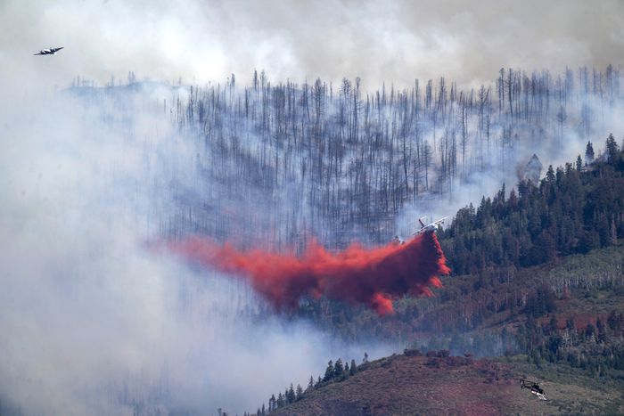
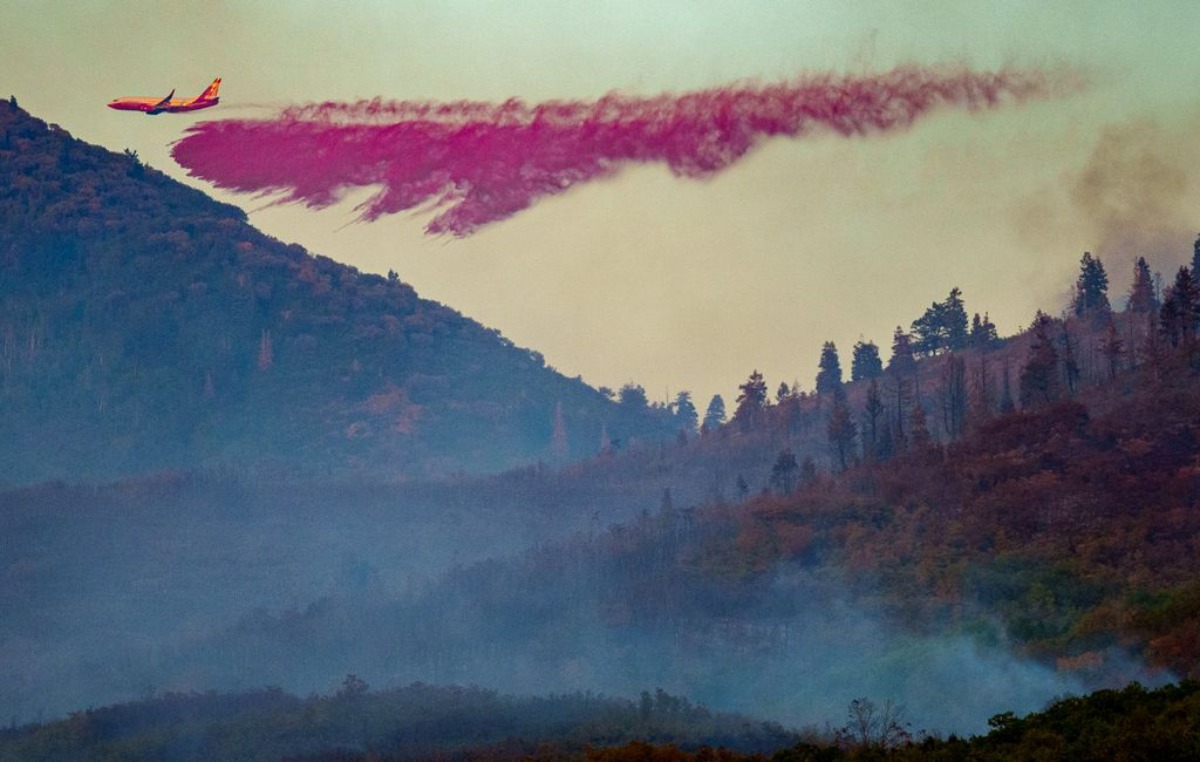
After the Parley’s Canyon fire in fall of 2021, Park City Municipal Corporation was tasked with conducting wildfire risk assessment and wildfire mitigation planning. DroneHive was hired to provide local pilots to fly multi-rotor drones using a mounted suite of 100-MP RGB cameras, hyperspectral cameras, and LIDAR. The high-res imagery DroneHive collected was then analyzed by machine learning algorithms. This enabled the client to not only complete their risk assessment, but to also generate wildfire models by way of identification of vegetation types, fuel loads, topography, and the locations of social, economic, and ecological high value resources. These data points proved essential in the creation of their wildfire models, which were used subsequently to construct their wildfire mitigation plan.
Method
DroneHive pilots flew a UAS drone over the site daily, which required that our flight plans consist of a cross-grid flight path with an 80% and frontlap and 60% sidelap. These flight parameter specifications refer to the amount of overlap that will be in each individual image. The overlap of each image increases accuracy and resolution by increasing pixels which allows for extremely detailed maps of the job site. We flew the drone at a speed of 50 feet per second and 400 feet above ground level. This produced an average of 5000 photos per scan of the entire city, approximately 20 square miles. We uploaded this data for processing nightly to our data processing partner (SharperShape) to deliver the client the following:
- A comprehensive high-resolution 2D map of the entire municipal area with 2cm accuracy.
- A 3D high resolution rendering of the site, called a “point cloud,” compatible with a vegetation identifying machine with learning algorithms and GIS software to assess fire threats to a given property or area.
- High Resolution photos and videos of areas of high value resources or highly sensitive environments.
- An interactive map to identify Habitat/Endangered/threatened species, Forest health, Soil health, Watershed/hydrology, Human health impacts, and Invasive species
Result
Our client successfully completed their Wildfire Risk Assessment, wildfire modeling for mitigation planning, as well as a fuel reduction plan and improved time to implementation. Furthermore, our client achieved not only improved communication and transparency across environmentalists, engineers, city planners, and contractors, but they also reached a positive ROI on the cost of the drone equipment, processing software, and DroneHive pilots. The benefits of using drones for aerial data collection in this scenario are clear and our client continues to engage with DroneHive as a result of this project.
Get Your Project Off the Ground Today
We have highly talented pilots all over the United States & beyond on the ground waiting to fly just for you. With this depth of qualified people, there is no job (or flight path) we won’t take.


