Environmental
Drone technology is revolutionizing land conservation & restoration projects. Aerial data minimizes exposure to risky environments while saving time in surveys & planning.
Overview
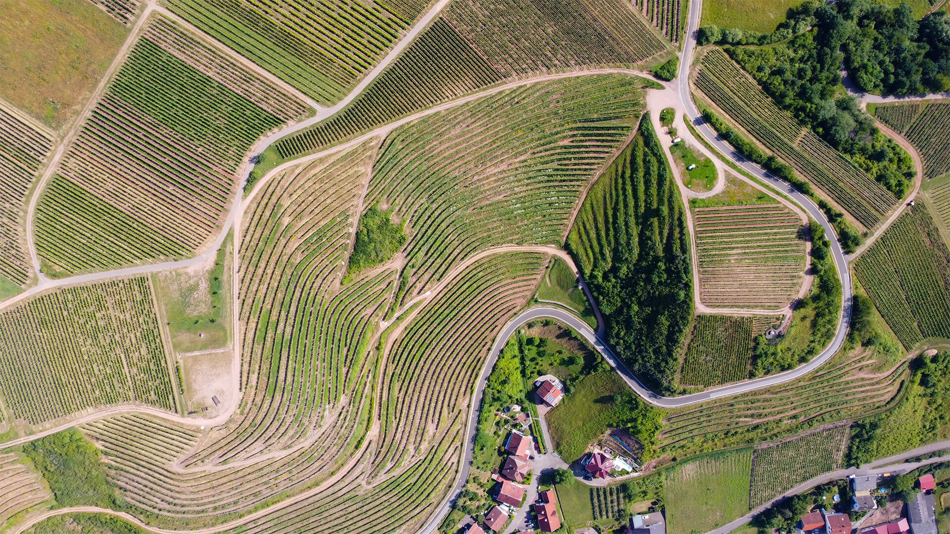
DroneHive successfully scanned a 510-acre vineyard in Napa Valley using a combination of LiDAR and multispectral cameras mounted on a DJI M600 Pro to generate detailed terrain models and monitor plant growth. The LiDAR scans were collected using a Velodyne VLP-16 sensor. The Velodyne VLP-16 is a 16-channel dual-return sensor with a reported accuracy of 0.03 m with a range of up to 100 m. Flying at an altitude of 30 m we were able to generate point clouds with point spacing 0.02 m and an average point density of 2000 points/m2. Multispectral imagery was obtained using a MicaSense RedEdge sensor, with five narrow spectral bands. The camera provided a 47.2° field of view and a resolution of approximately 2 cm/pixel at 30 m altitude. This enabled the Vintner to calculate overall vine biomass, assess soil health, and identify disease indicators. Using this data allowed the winery to improve decision-making, foster greater traceability and enhance the inherent quality of grapes produced.
Method
DroneHive pilots flew a drone over the site weekly, which required that our flight plans consist of a cross-grid flight path with an 40% and frontlap and 35% sidelap. These flight parameter specifications refer to the amount of overlap that will be in each individual image. The overlap of each image increases accuracy and resolution by increasing pixels which allows for extremely detailed maps of the job site. LiDAR data was simultaneously collected with corresponding multispectral image sets. We flew the drone at a speed of 30 feet per second and 100 feet above ground level. This altitude allowed us to maximize the range of the multispectral camera. All flights were geo-referenced with five GPS GCPs (Ground Control Points) placed strategically around the vineyard. We uploaded this data for processing nightly to our data processing portal to deliver the following each day:
- A comprehensive high-resolution 2D map of the entire vineyard with 2cm accuracy.
- A bathymetric map for irrigation planning.
- A 3D high resolution rendering of the site, called a “point cloud,” compatible with a vegetation identifying machine with learning algorithms and GIS software to assess crop health.
- High Resolution photos and videos of areas of examination or sensitive environments.
- An interactive map to identify Leaf density, Soil health, Watershed/hydrology, and disease indicators.
Result
Our client successfully surpassed expected yields, reduced planning and operations costs, as well as improved the taste profile and overall quality of the crop. Furthermore, our client achieved improved communication and transparency across owners, agronomists, vineyard managers, and contractors. The benefits of using drones for aerial data collection in this scenario are clear and our client continues to engage with DroneHive as a result of this project.
Get Your Project Off the Ground Today
We have highly talented pilots all over the United States & beyond on the ground waiting to fly just for you. With this depth of qualified people, there is no job (or flight path) we won’t take.


